Picture of the month
September 2011
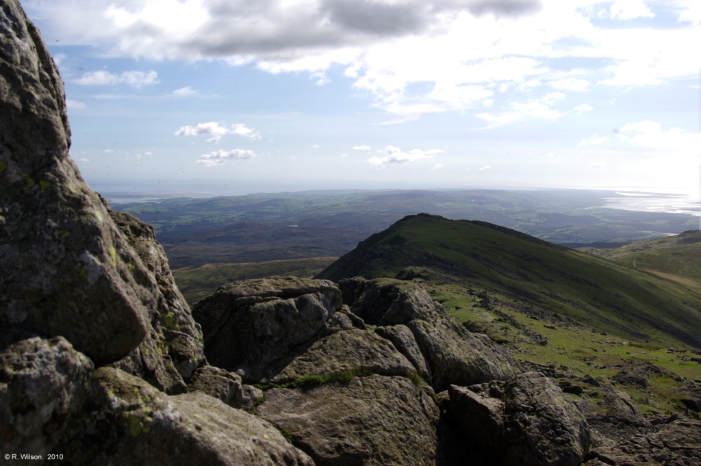
The Furness peninsula from Dow Crag

Comment:
This photograph is taken from the summit of Dow Crag in the English Lake District towards the sun - contre-jour. With a summit elevation of 778 metres, this crag at the southern end of the Lake Districts affords wonderful views on a clear day down along the Furness peninsula to Walney Island at its tip. Just visible to the left is Morecambe Bay, in the distance is the Irish Sea and to the right is the estuary of the River Duddon. From Dow Crag to the distant southern tip of Walney Island is a distance of 37 km. The rock types around Dow Crag are members of the Upper Borrowdale Volcanic Group. These result from extremely violent explosive volcanoes which discharged pyroclastic ash clouds into the atmosphere before falling back to Earth. The resulting rocks are known as air-fall tuffs and have variability, identified by individual geological names, which result from such things as the characteristics of the individual explosive eruptions and subsequent events when settled on the ground such as sorting by water flows, collapses and the effects of overlying deposits.