Picture of the month
August 2011
Low Furness Drumlins

Comment:
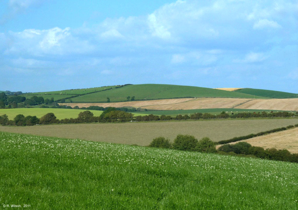
The country road between the villages of Gleaston and Leece undulates significantly as it climbs and descends members of the local drumlin cluster which sit in close proximity to each other. This photograph is taken from the high ground on that road and is looking in a north easterly direction at a time when the various agricultural crops have served to punctuate the scale and curvaceous character of the Low Furness drumlins. Since being deposited from the melting ice of the last ice age, these massive deposits have been progressively cultivated by man to the point where they provide quality agricultural land in modern times.