Picture of the month
February 2018
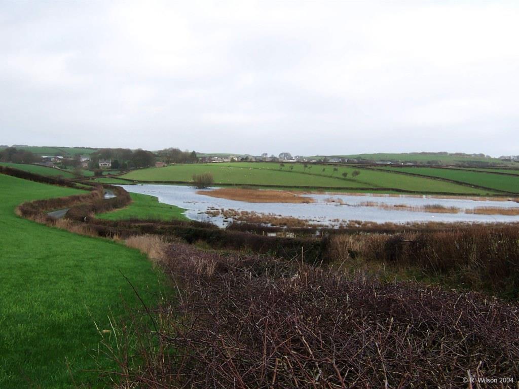
Mere Tarn in flood

Comment:
Normally confined in modern times within the surrounding reed bed of Phragmites Australis, Mere Tarn is seen with water almost reaching the narrow country road which runs between the villages of Gleaston to the south and Scales seen in the distance to the north. The road of today is likely to be an evolution from the ancient track used by early settlers in these parts, the route being defined by a desire to remain above the tarn's water throughout the year. An excavated outlet channel at the north end of the tarn suggests that its water level has been lowered at some time in the past, possibly, via a sluice arrangement, as a means of periodically augmenting the water supply to the ancient water mill to the south which was initially solely dependent on water flowing from Urswick Tarn to the north. The water flowing from the north of Mere Tarn travels all the way around the drumlin known as Hare Hill, seen to the left, before joining Gleaston Beck flowing from Urswick Tarn.