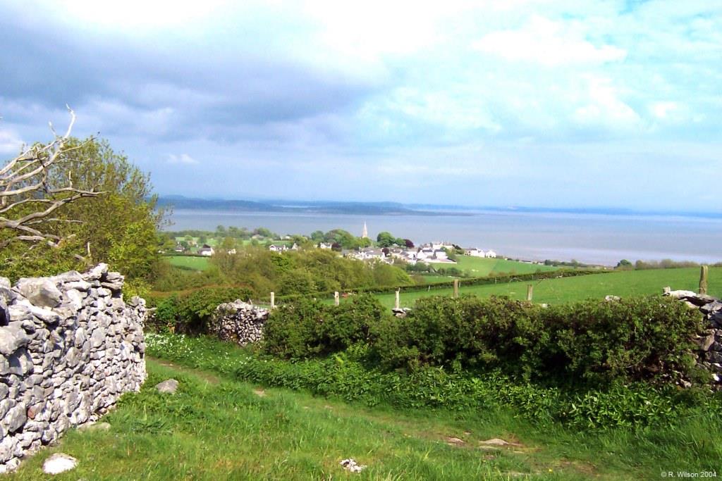
Picture of the month
May 2014
Across Bardsea & Morecambe Bay

Comment:
The high point on this charming short lane, which leads from Bardsea Green to Birkrigg Common alongside Crooks Wood, affords an excellent view point to enjoy the juxtaposing of rural Low Furness's rolling pastureland with the seascape of Morecambe Bay. Although the lane is not named on maps, it has been known for many years to some indigenous locals as Mum’s Loke. In this photograph the bay has been filled by the daytime tide which flows with great speed from, and then returns to, the Irish Sea. This twice daily alternation between sea and sand, together with the constantly shifting opportunities for, and directionality of, reflected light, produces an ever changing landscape which is always interesting and not infrequently beautiful. The small hamlet of Bardsea Green is out of picture below the near horizon but the more distant main village of Bardsea is clearly seen sitting on the western side and summit of the gently curving drumlin. The stretch of water immediately behind Bardsea is the Leven Estuary section of Morecambe Bay bounded on the other side by the southern point of the Cartmel peninsula at Humphrey Head. In the distance is the eastern shore of Morecambe Bay stretching in this picture between Silverdale to the north and Morecambe to the south. In total, the area of this beautiful but treacherous bay is around 310 km2.