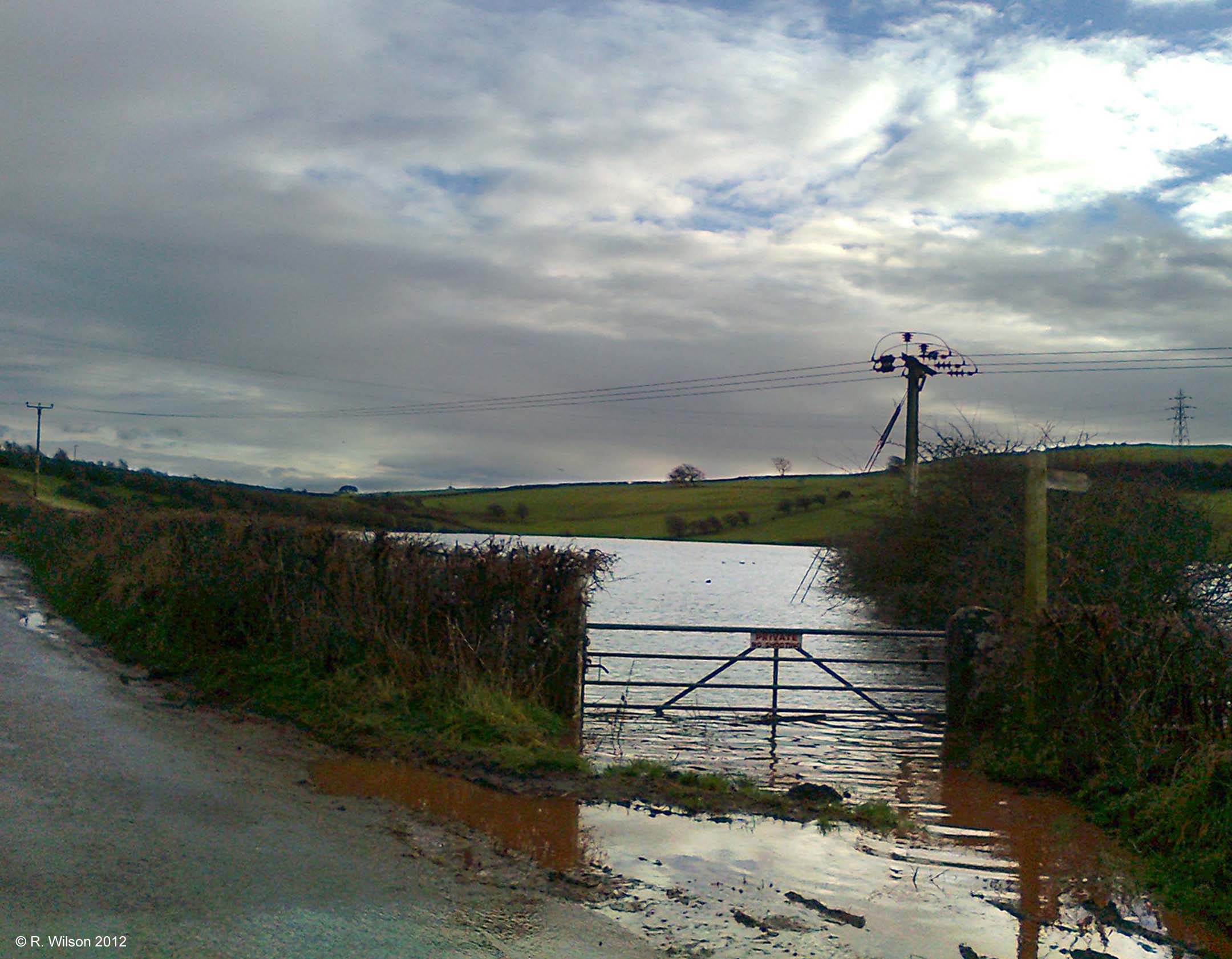
Picture of the month
December 2012
Standing Tarn in flood

Comment:
This is a flooded hollow of considerable depth located between a number of drumlins which provide neither overground inflow to flood the hollow nor overground drainage. The water rises as groundwater and eventually subsides as the water table lowers. To gain an impression of the scale of this flood the same view may be found on Google StreetView by going to coordinates:
54°09'36.82" N 3°09'50.65" W