Picture of the month
November 2011
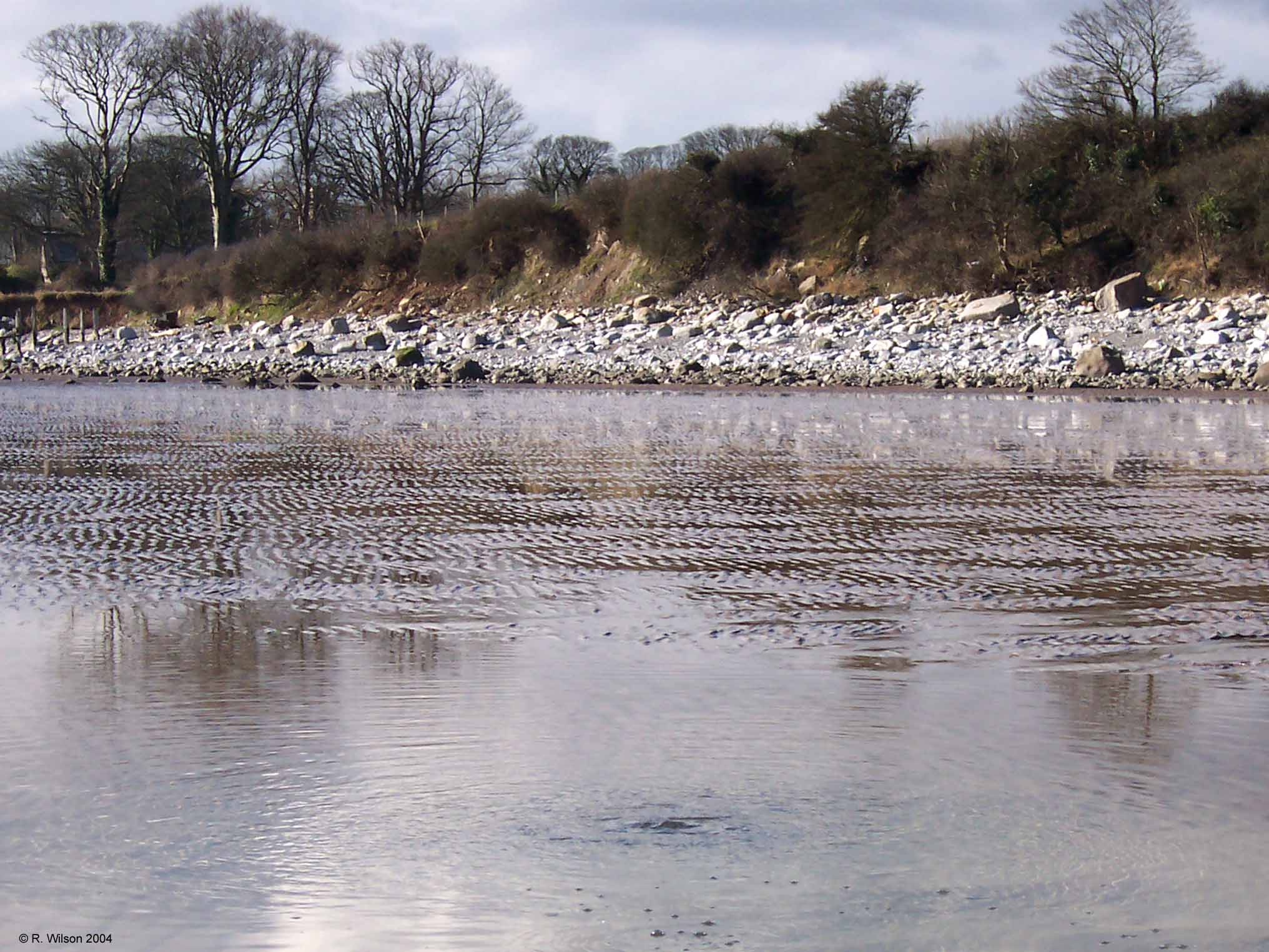
Freshwater spring feeds morecambe bay

Comment:
This photograph is taken on the sands of Morecambe Bay close to the shore at Aldingham at a time when the twice daily tides are out. Clearly seen in the foreground is fresh water which is emerging from the sand. This has initially fallen as rain on the land of the adjoining Furness peninsula. It has drained through the limestone bedrock of the peninsula to accumulate as groundwater at an elevation defined by the level of the water table at this particular time. That groundwater level is at a height greater than sea (now sand) level such that water finding its way to create a spring beneath the sand has sufficient head of pressure to establish a flow and additionally to rise above the level of the sand. At this point in the tidal cycle the water drains away from the shore and will inevitably meet the incoming saltwater of the next tide. Even though not as evident as at this location, this illustrates the drainage of the land to the sea which is constantly taking place at numerous places. The boundary of this stretch of coastline is defined by the eroding edge of a drumlin that is gradually depositing its rocky content, which includes large limestone clasts, to the beach.