Last Updated: 12 January 2014
Urswick Parish
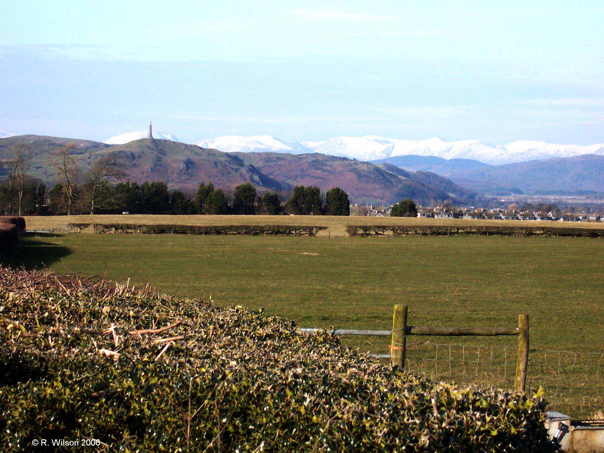
Looking north to the Lake District mountains from Birkrigg Common
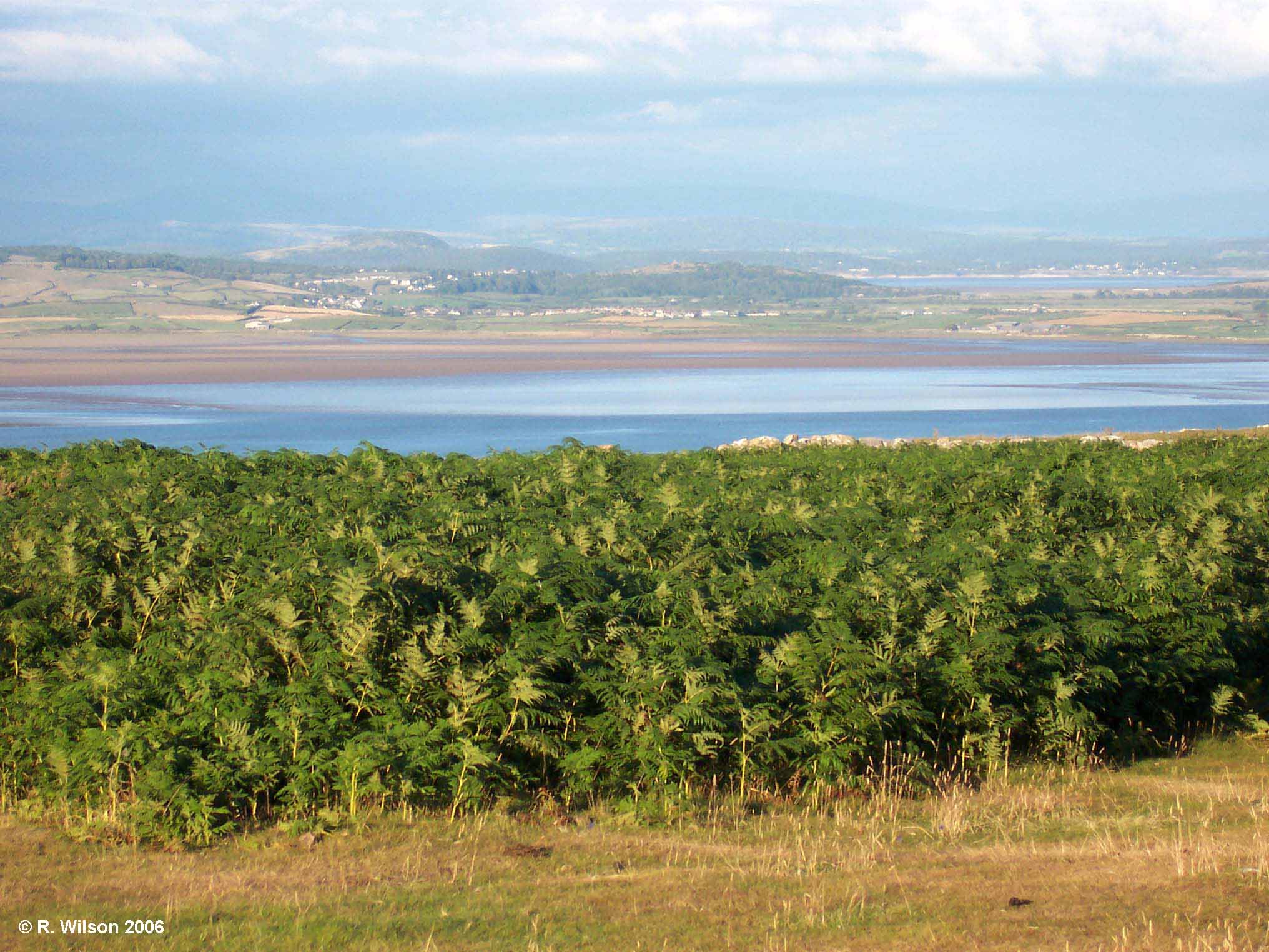
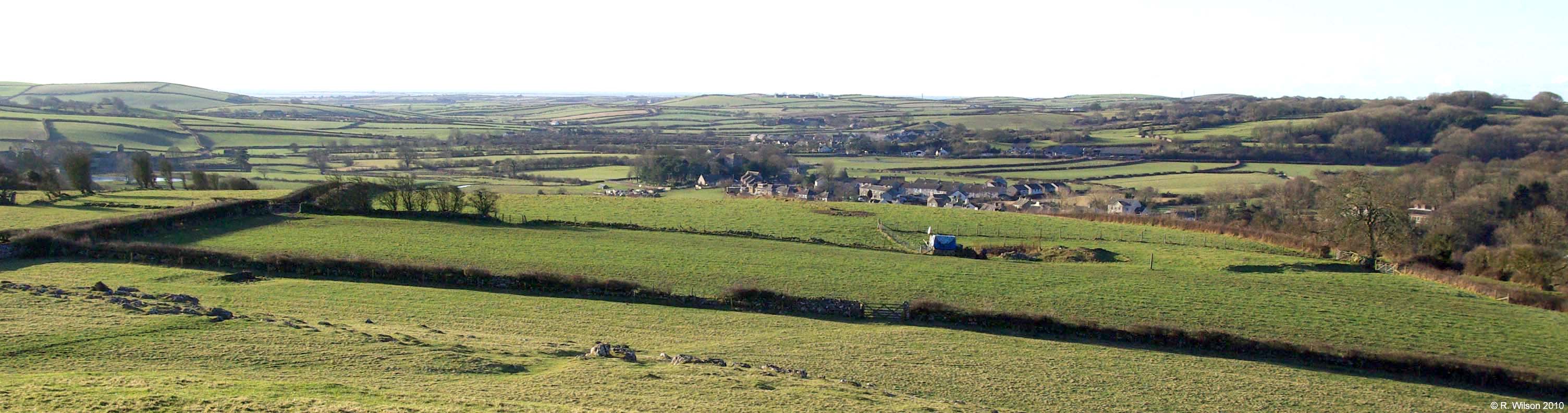
Crake and Leven Estuaries at the west of Morecambe Bay
The on-land perimeter of the parish is 14.6 miles in length, 1.6 miles of which is pristine shoreline on to Morecambe Bay, along
the entire length of which runs the classic footpath of the Cumbria Coastal Way. The highest point in Urswick Parish is the summit
of Birkrigg Common from where a wonderfully scenic panorama presents itself in all directions. Ever popular with walkers, the grass
pathways which criss-cross the gentle inclines of this elevated ground provide an ideal location for taking exercise.
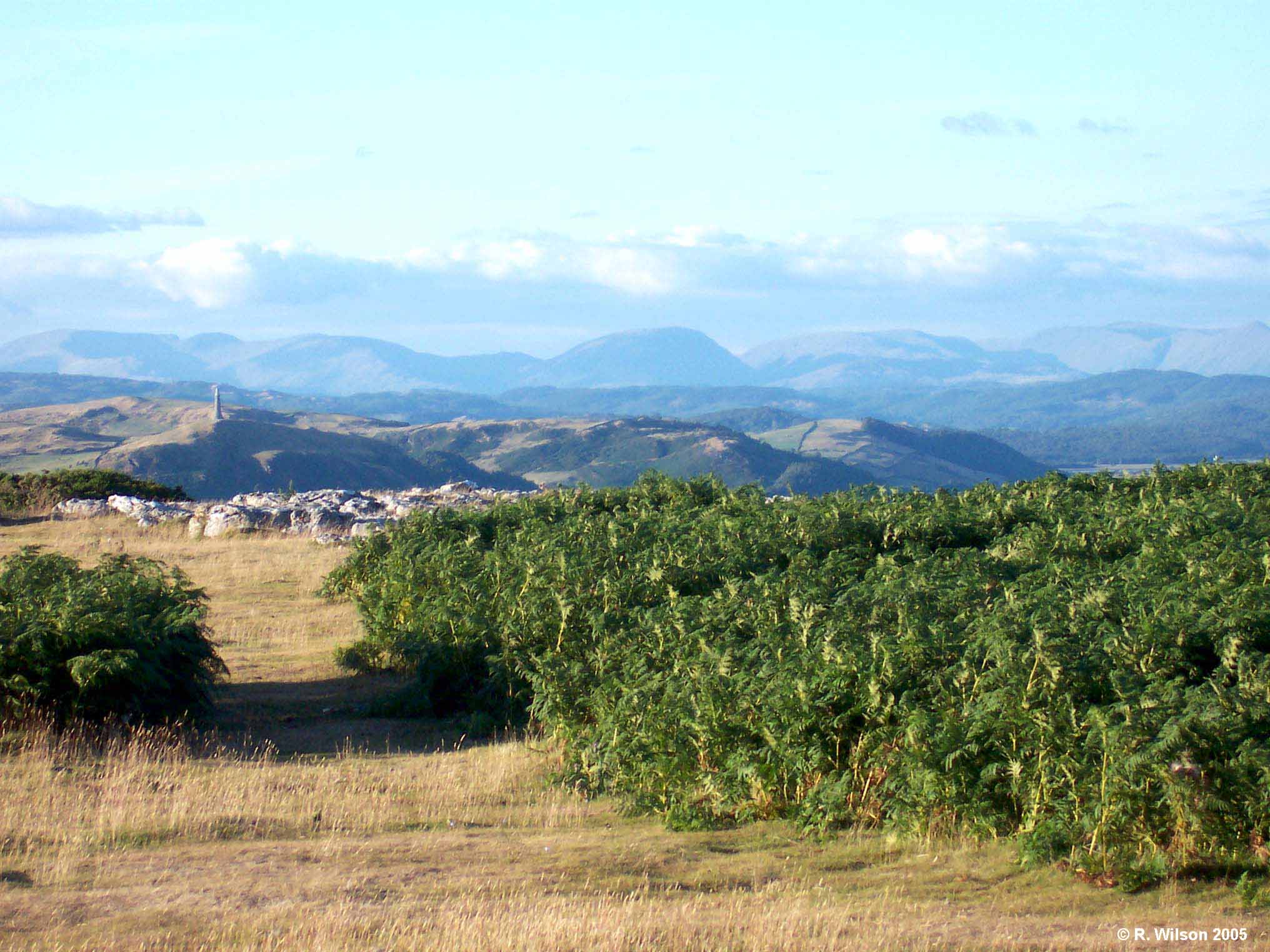
Lake District mountains and Furness Fells
The peninsular provides the transition between the rugged Lakeland mountains to the north and the coastal terrain with which it is
surrounded. The smooth contours of the Furness Fells, which form the spine of the peninsular, further add to this sense of harmonious
transition, the entire spectacle of which can be seen from several elevated vantage points throughout the parish. On the western
side of the peninsular is the estuary of the River Duddon, whilst on the eastern side the estuaries of the rivers Crake and Leven
combine to form the western half of Morecambe Bay. Urswick Parish extends into the 310 km2 bay which is noted both
for the beauty of its huge expanse of exposed sand between tides, and for the treachery of its rapid currents during tidal flows.
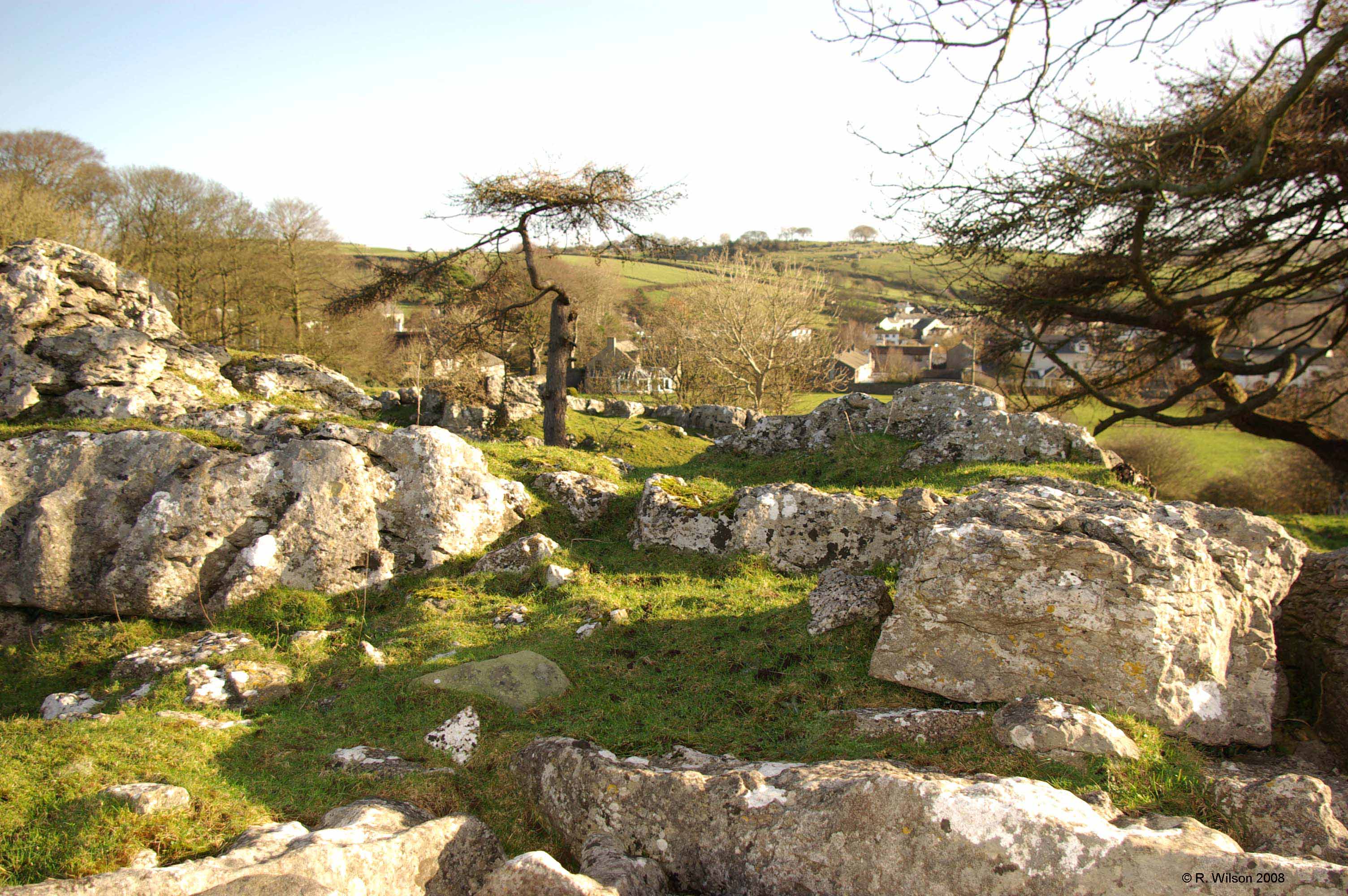
Limestone crags, Great Urswick
Whilst the Lake District mountains derive their character from volcanic rocks, and the intermediate ground from mudstones,
sandstones and siltstones; the character of Urswick Parish is distinctly identifiable by Carboniferous Limestone.
It is limestone that was used to construct all of the formative settlements in the parish as well as many of the field boundaries
which sprang up as a result of enclosure during the 18th Century. Multiple glaciations produced ice sheets which
radiated out from the Lake District sculpting the landscape on their journey south, where, at the tip of the Furness peninsular,
they merged with Scottish ice moving down the Irish Sea. As the ice retreated between those glaciations they released the till
which they had carried from the valleys around Coniston and thus provided the parish with its excellent agricultural land. Meltwater
flowing beneath the glaciers acted as yet another sculptor worthy of credit for the resulting beauty and distinct character which
the parish enjoys.
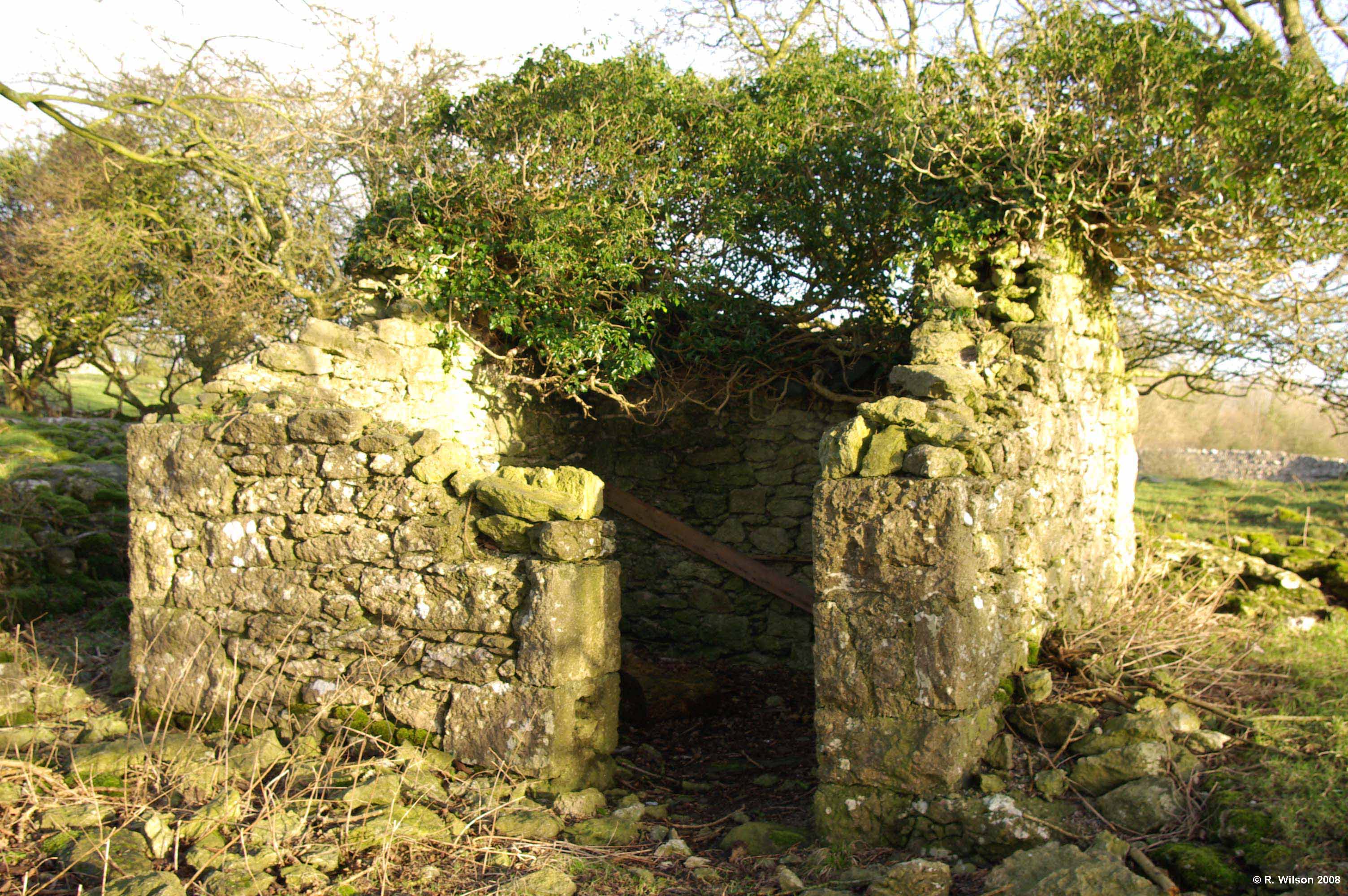
Derelict powder house, a remnant of haematite mining
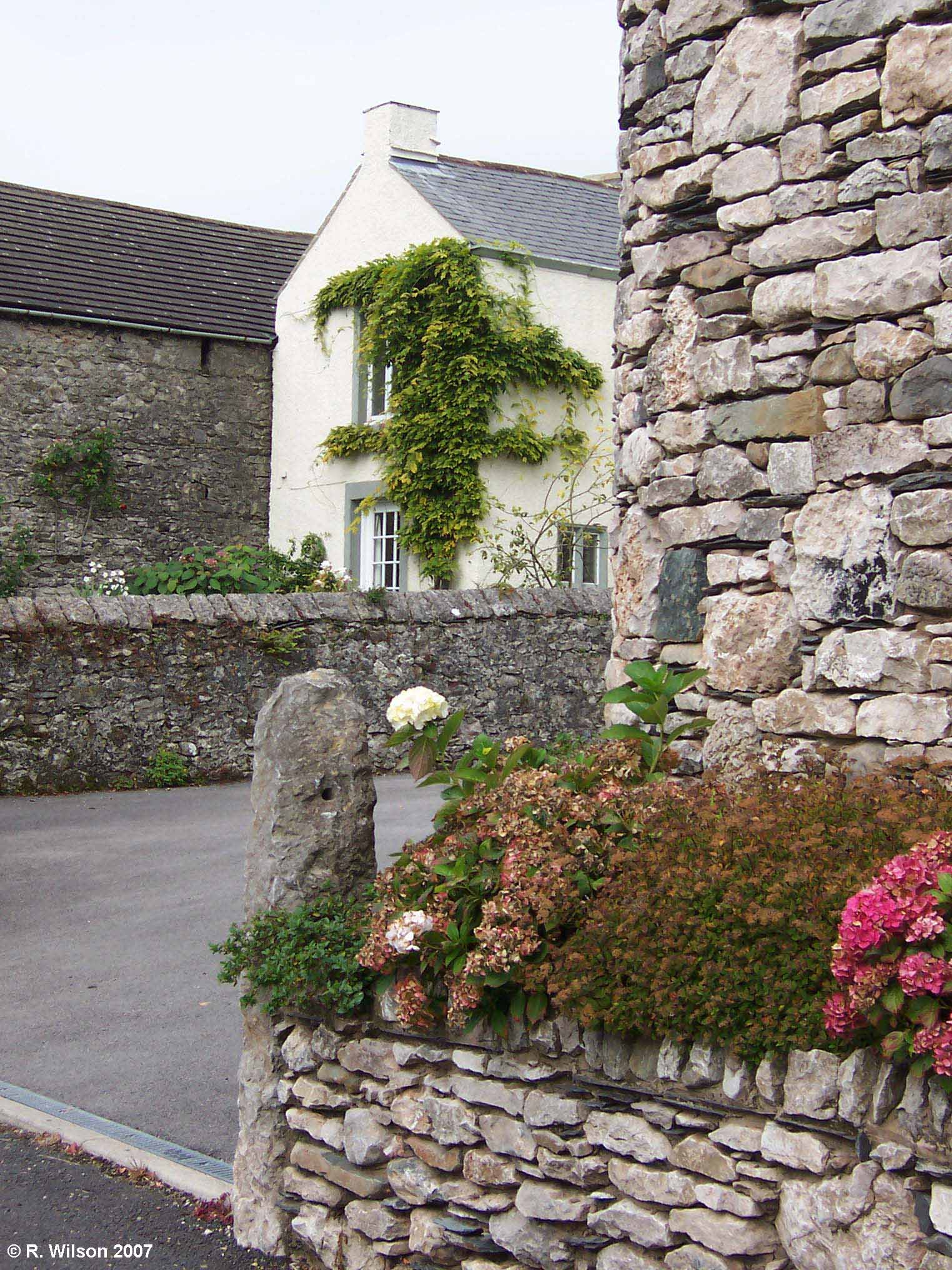
Quality modern stonework
The attractive character of the built environment in the parish’s settlements is attributable to the use of local materials,
namely, limestone from within the parish, 350 million years in the making and, even older by 50 million years, Burlington
slate from England’s largest source of quality slate on nearby Kirkby Moor. In the last century, however, integrity
with these materials diminished as development control progressively slipped from the age-old traditions of the former indigenous
community. Whilst the villages remain an attractive feature of the parish, there can be little doubt that the 20th
Century was less than caring towards them. This fact was underlined, at least in the case of Great Urswick, by an assessment
by South Lakeland District Council in response to the Parish Council's application for conservation area status for the village.
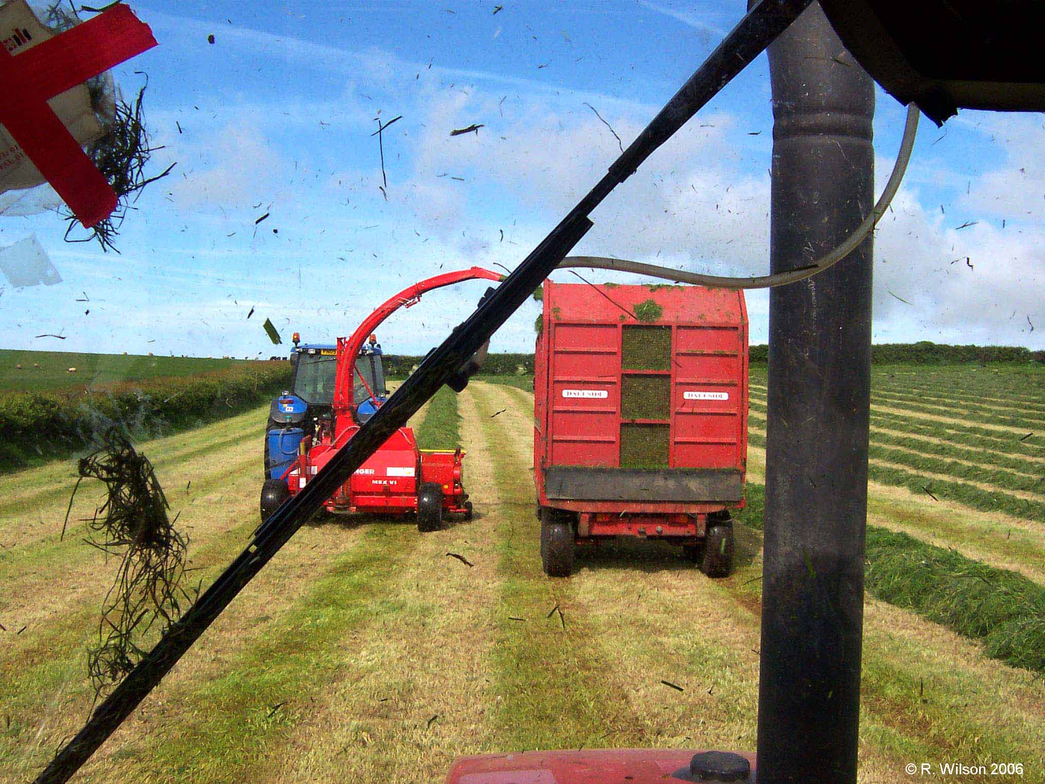
Gathering the silage crop