Picture of the month
May 2017
the right-of-way right way - No cheating

Comment:
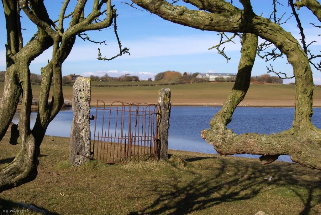
This photograph clearly speaks of times gone by when field and lane boundaries were in place and it was necessary on this right- of-way to enable the passage of humans whilst preventing the escape of livestock by means of this now very old kissing gate. Remnants of those old and contorted hedge boundaries now exchange, together with the kissing gate, their functionality of years gone by to become this art form in the countryside. Still a popular footpath for the occasional leisure walker, the kissing gate would be passed through by large numbers of haematite miners as they travelled to and from their very arduous work in the nearby mines which were particularly active in the nineteenth and very early twentieth centuries. Almost off picture on the left skyline are the remaining spoil heaps of the former Lowfield mine and in the field behind the camera is where Bercune mines used to be, but there is now very little trace of them or of the rail track which serviced the mine. The body of water seen in the photograph is known as Bercune Tarn. It fluctuates in size over the seasons and occasionally dries-up completely, the water slowly soaking away through the fissured limestone bedrock below, perhaps to re-immerge in Urswick Tarn to the south east. At least in part, the hollow in which the water stands may be the result of collapsing ground into the former mine workings below, or of greater age, cavern collapses into the limestone bedrock. The fact that haematite mining and limestone bedrock are in close proximity is no coincidence. Haematite forms by a process of metasomatic conversion as fluids rich in iron slowly pass through the limestone over long periods of time.