Picture of the month
November 2016
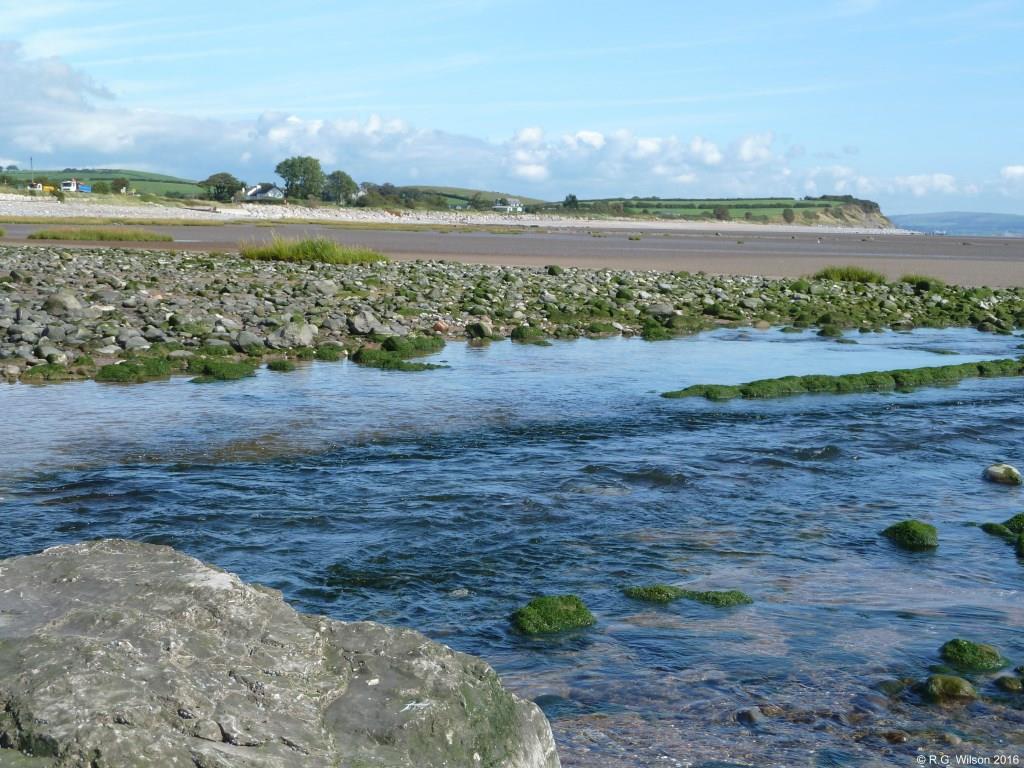
Gleaston Beck enters Morecambe Bay

Comment:
Following its 7 km flow from Urswick Tarn, Gleaston Beck is seen entering Morecambe Bay at Leonard Point on the east side of the Furness peninsula. On its journey the flow has been added to by surface water land drainage together with a significant flow from within the very large drumlin called Beacon Hill which emerges in the vicinity of Gleaston Castle and which has been referred to in earlier Pictures of the Month. The curvateous skyline hills to the left of the photograph are part of the extensive drumlin field, full of till and stone, brought by a succession of ice age glaciers from the carved out valleys around Coniston in the southern Lake District. Right of centre is a closer drumlin which has been severely eroded by the sea and weather revealing its content of predominantly volcanic rocks rounded during their passage within and beneath the ice. The similar erosion of other drumlins in the period since the end of the last ice age, around 11700 years ago, has left the stone now covering the shoreline and the occasional rock covered scars along the coast of the bay. The more distant hills forming the skyline on the right of the photopgraph are on the neighbouring Cartmel peninsular. Also seen in the picture is a small part of the very extensive inter-tidal exposure of sand for which Morecambe Bay is renowned, along with its treacherous tidal flows that have claimed the lives of many.