Picture of the month
December 2015
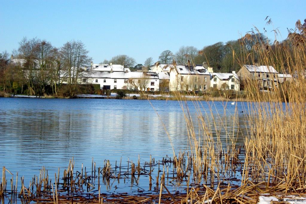
Brow End, Great Urswick, across Urswick Tarn

Comment:
The properties seen on the west side of Urswick Tarn are located in the part of this small village known as Brow End. The Brow itself is a country lane leading from the village, the end of which may be seen as the gap between the two terraces of dwellings in the centre of the photograph. The lane provides access to pasture land behind the village and, prior to the bringing of mains water to the village and to that land at the beginning of the nineteenth century, would be constantly used to enable livestock to access drinking water at the tarn edge. Related land bordering the tarn is now designated as 'open access land' by The Countryside and Rights of Way Act 2000. This photograph is taken from a section of the tarn's marl bench margin where the reed, Phragmites Australis, still has a significant presence. Within living memory this was also the case, together with the reed, Typha angustifolia, and others, all around the tarn; but over the last half century or more, private land encroachment has resulted in significant losses along with the habitat that the reeds provided.