Picture of the month
October 2015
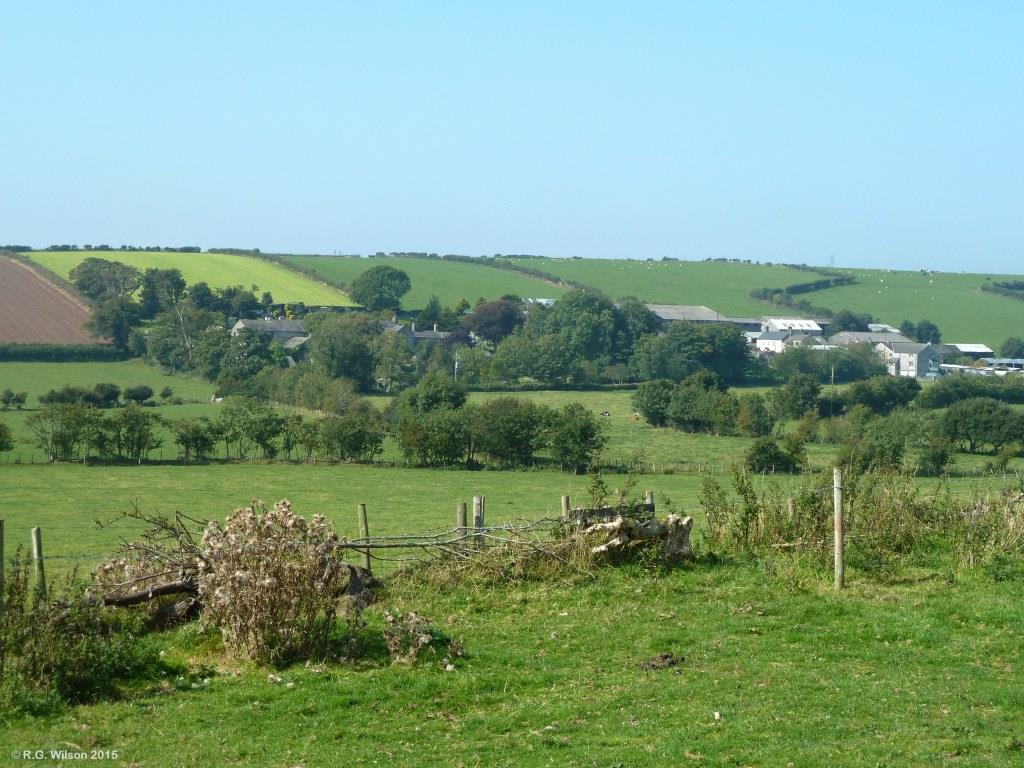
Dendron - A hamlet Amongst the drumlins

Comment:
Located on the east facing lower slope of one of Low Furness's many drumlins, the hamlet of Dendron is surrounded by fertile land typical of much of the eastern side of the peninsula. In keeping with this setting, the footprint of agricultural buildings in this hamlet exceeds that of all of the dwellings plus the graveyard, the latter serving the villages of Leece, Newton and Gleaston, as well as Dendron itself. The field boundaries in this locality, as is the case generally towards the southern end of the peninsula, are hawthorn hedges. Boundaries constructed from limestone, which are common further north on the peninsula, get fewer as the distance increases from the outcropping Carboniferous limestone rocks there. Beneath Dendron and the surface till, the solid geology is made up of two narrow parallel bands consisting of dark mudstones and siltstones known as the Grey Beds, and what was at deposition, overlying magnesian limestone. This parallel band beneath the hamlet is itself located between more extensive mudstones (younger than the Carboniferous limestone) to its north, and shales and sandstones (younger in turn than the mudstones) to its south. The sequence of rock types making up the Furness peninsula, in general, gets younger towards the south.