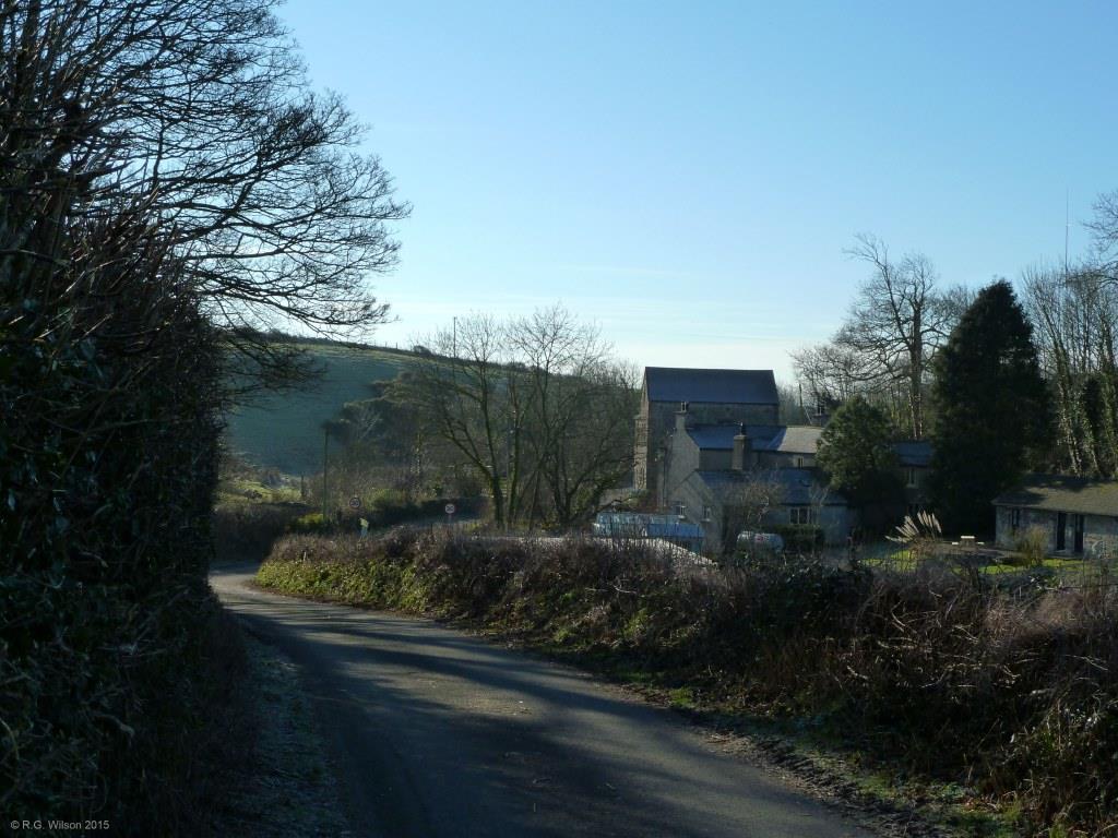
Picture of the month
March 2015
Gleaston Mill

Comment:
Gleaston Mill, seen here in the low sunlight of a winter's morning, is located only 210 metres from the boundary of Gleaston village, yet its position at the southern end of a valley which is separate from and to the east of the village, gives a sense of rural isolation to this historic site. With the neighbouring ruins of the 14th century Gleaston Castle only 500 metres to the north of the mill, along the narrow country road seen in the photograph, this is a peaceful rural location where the pace of modern life and usual accompanying changes to villagescape and landscape are delightfully absent. The present three storey water mill dates from 1744 and succeeds what is believed to have been a two storey mill dating from the time of the nearby castle. Water driving the large wooden mill wheel travels along a 575 metre long millrace, or leat, from Gleaston Beck which drains Urswick Tarn 3.8 km to the north. The tarn and its beck provided the mill with a reliable energy source during the wet months of winter but outside of that season essentially restricted its operation to that of a winter mill. When the mill was upgraded in 1744 its productivity was significantly improved by the construction of a second leat which took water emerging from two separate springs on the western side of the adjacent large and imposing drumlin known as Beacon Hill, and delivered a year round supply of water to the up-stream side of the weir at the inlet to the original leat from Gleaston Beck. The mill, which opens to the public as a well established tourist destination, still operates with its original wooden gears transmitting power from the water wheel to the mill stones.