Picture of the month
February 2014
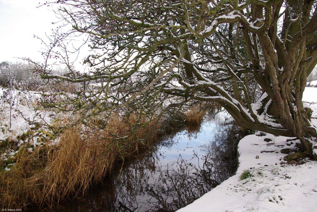
Gleaston Beck at Holme Bank

Comment:
This north facing photograph shows Gleaston Beck 400 metres downstream from Urswick Tarn in the early stage of its 7 km southerly route through the meadows of Rural Low Furness to Morecambe Bay. Over this total distance the drop in elevation is only approximately 34 metres, but over the first kilometre from the tarn the drop in elevation is extremely small. When this rare marl tarn was regrettably used in the 19th century as a receiving sump for haematite mining effluent pumped from the numerous mines that were operational on Lindal Moor to the west of Lindal in Furness, there was a very high level of suspended solids in Urswick Tarn. This resulted in a severe sedimentation problem in this section of the draining beck. The reduction in draining capacity that this caused, in conjunction with the very significant inflow to the tarn from the mines, frequently caused the water level in the tarn to rise and flood the surrounding meadows as well as the village cesspits of those times. This caused a great deal of anxiety and concern amongst the residents of Great Urswick about the accompanying risks to their health. The gnarled trees bordering and overhanging the beck are hawthorn and it is probable that they are of considerable age. The beck has protected them from both man and animals, allowing them to spread laterally as well as grow vertically.