Picture of the month
March 2012
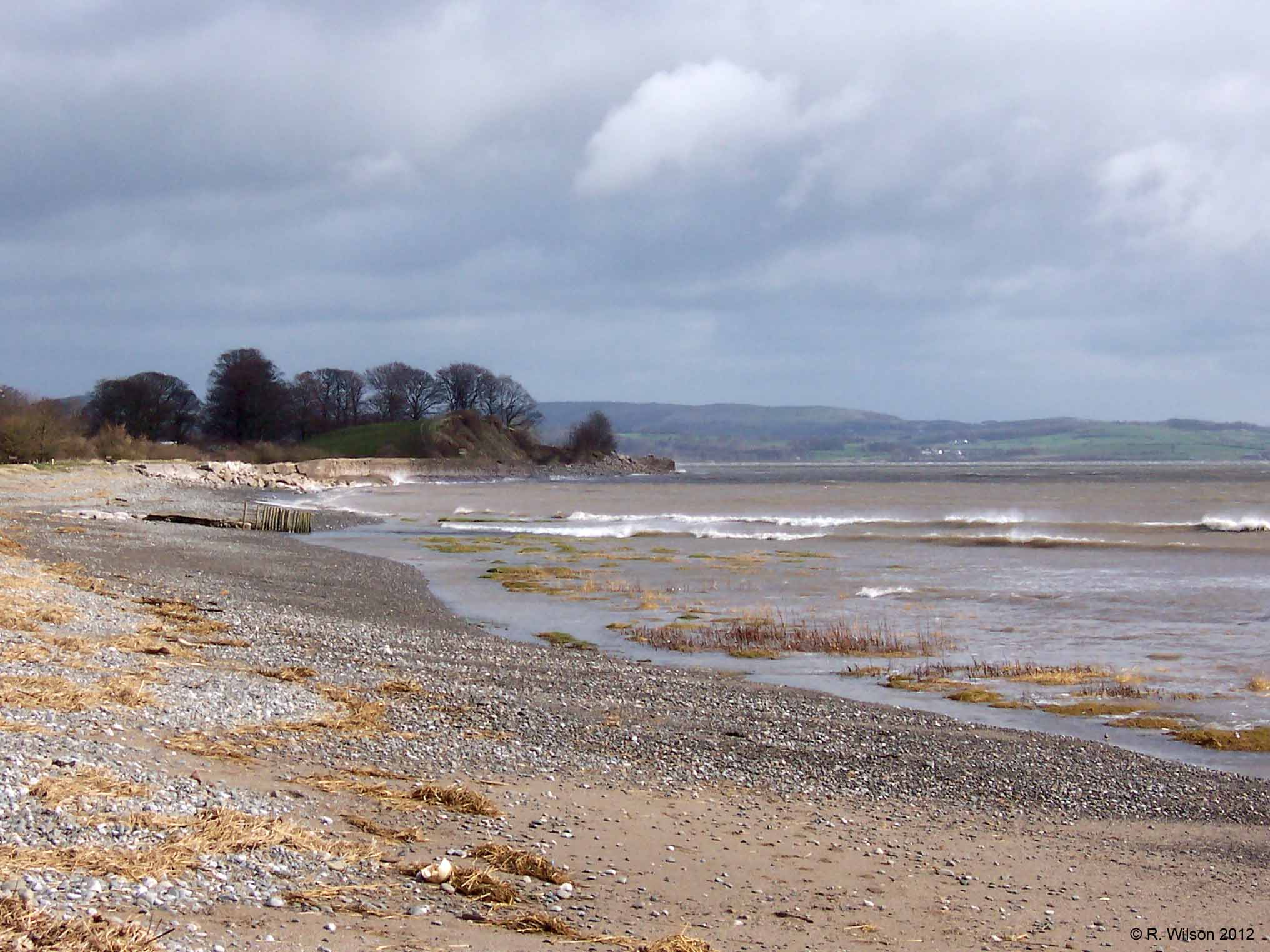
Bardsea Shore & Wadhead Scar

Comment:
This photograph was taken when the tide was receding and there was a strong wind blowing which is lifting spray from the waves. The shoreline is the western boundary of Morecambe Bay, notorious for its fast flowing currents, gulleys and quicksands, but also noted for the beauty of its great expanse of sand when the tide is out, as well as its setting in the surrounding landscape. The raised ground in the distance on which trees are growing remote from the eroded side exposed to the sea, is a kame known as Wadhead Scar. This is a landform of glacial origin composed of distinct beds of sand and gravel which show evidence of slumping caused by collapses as a stagnant body of ice melted. The distant land on the other side of the Leven Estuary is the Cartmel peninsula which is shorter than but runs parallel to the Furness peninsula. To the east of the Cartmel peninsula is the Kent Estuary which, like the Leven Estuary, drains the southern part of the Lake District to Morecambe Bay.